


notre dame de la gorge refuge des prés

jfcontour
User
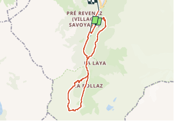

Length
16 km

Max alt
1941 m

Uphill gradient
892 m
Km-Effort
28 km

Min alt
1175 m

Downhill gradient
913 m
Boucle
No
Creation date :
2025-02-19 08:56:23.654
Updated on :
2025-02-19 16:21:42.13
7h24
Difficulty : Very difficult

FREE GPS app for hiking
 SityTrail
IGN / Geographical institutes
SityTrail Plus
The world is yours!
About
Trail Walking of 16 km to be discovered at Auvergne-Rhône-Alpes, Upper Savoy, Les Contamines-Montjoie. This trail is proposed by jfcontour.
Positioning
Country:
France
Region :
Auvergne-Rhône-Alpes
Department/Province :
Upper Savoy
Municipality :
Les Contamines-Montjoie
Location:
Unknown
Start:(Dec)
Start:(UTM)
322582 ; 5073779 (32T) N.
Comments